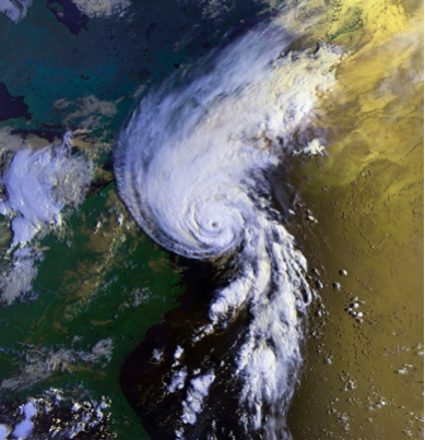
The marvels of satellite imagery can be taken to extreme heights and can be used for many useful things. The idea behind using these pieces of technology in ways to help mankind with different research or exploration is amazing, but a lot of people wonder how they can get these services and what it can be used for. Take a look below to find out what these photos can help with.
How to get these images
Anyone can get these services through different platforms or tools, most of them are quite costly. But when you’re after decent commercial satellite imagery, it’s well worth the cost. You basically task, it by pinpointing the location of where you want it to capture the image. There are certain things to set up in order to make it work, the desired start and end times, which will be used to calculate when the image will be taken. You are only allowed a certain amount of space covered, the size that’s available ranges from 2 to 7 km square. You will also get notifications through the apps or platforms you’re using on the status of the tasking request. It includes confirmation, planned imaging time, image acquired, and delivery information on it.
Wildfire early warnings and handling recurring ones
Did you know that it can be used to save forests and wildlife? Even people who might suffer and lose their lives or homes from any natural disaster. Wildfires cause serious damage to property and land, and because of this, there is a need to control wildfires and lessen their impact. Satellite data enable firefighters to be dispatched with pinpoint accuracy. Operational satellites like AVHRR and MODIS are the best choice for this because of their mid-infrared and thermal band capabilities.
Law enforcement aid
This type of imagery offers remote sensing that helps police or the FBI on various occasions. It can save time, money, and manpower in locating missing people or track down fugitives on the move. Crime detectives want to narrow down their search before they go searching, and that’s where the remote sensing tools play a role in exploring the search area with a fine-tooth comb and picking up anomalies in the field. This could include anything from a rabbit hole to the crime scene itself. Also, it can be used to track down illegal organizations in the remote places of the world, tearing it down and stopping the flow of human trafficking. This is truly a remarkable tool that can help protect and save lives.
Searching for mineral deposits and oil
When you’re in the business of mineral and oil exploration, it is important to know about the potential of the area to be considered for mineral or oil extraction. This is where satellite remote sensing can help with based mapping and its integration in a GIS platform help Geo-scientists and engineers to map the potential zones easily by saving time. With the help of spectral analysis of satellite image bands, it can quickly be identified and mapped through special indicators. This will enable exploration and extraction teams to narrow the drilling activities to high potential zones.
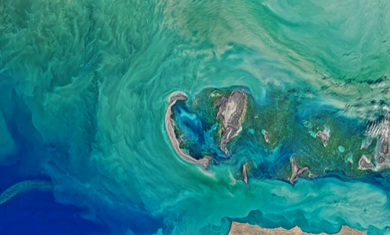
Tracking down areas of the ocean for sustainable fishing
The marine life offers a decent amount of food sources to many countries, from the viewpoint of satellites, our oceans still have plenty of fish that needs to be found. It can monitor sea surface temperature and ocean colors because they are analytical of specific fish species. The top-down view of remotely sensed data can be communicated with the local fishermen around the world to help them. It can also be used to sustain the life of many marine mammals by tracking down the fish, catching them, and then moving them to their feeding grounds. Some of them are endangered species that don’t have enough food to go around, so this can help from dying out. Â
Helping the united nations during a crisis
Did you know that it can be used in times of need when there’s turmoil and devastating political issues in some countries? Satellite imagery can help by providing valuable information that can be used to plan for the supply of life-sustaining resources like food, water, and shelter materials. The UN also utilized the imagery not only for response cases, but also to track human migration and predict the areas likely to experience future conflict. For example, the imagery helped the UN refugee agency to track the movement of more than 38,000 people from South Sudan to Sudan following a time of unrest. These people were likely to face a food crisis of their own, but the UN was active and ready to help immediately.
There are so many things that can be done and accomplished from satellite images, it really makes a difference and can help make things run better and faster. Not to mention all the lives it can save, it is truly remarkable.